Home Books Agriculture GEOPGRAPHIC INFORMATION SYSTEMS REMOTE SENSING AND MAPPING FOR THE DEVELOPMENT AND MANAGEMENT OF MAR
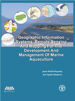
GEOPGRAPHIC INFORMATION SYSTEMS REMOTE SENSING AND MAPPING FOR THE DEVELOPMENT AND MANAGEMENT OF MAR

Categories

GEOPGRAPHIC INFORMATION SYSTEMS REMOTE SENSING AND MAPPING FOR THE DEVELOPMENT AND MANAGEMENT OF MAR

James McDaid Kapetsky & Jose Aguilar-Manjarrez

  • ISBN
  • Book Format
  • Binding
  • Language
  • Edition
  • Imprint
  • ©Year
  • Pages
  • Book Type
Select Format INR(₹)
Print Book 2,950.00
Add To Cart Buy Now  Request Complimentary Copy

Blurb

Geographic Information Systems, Remote Sensing and Mapping for the Development and Management of Marine Aquaculture explores the application of modern geospatial technologies in the planning, development, monitoring, and sustainable management of marine aquaculture. The book brings together the principles and practical applications of Geographic Information Systems (GIS), Remote Sensing, spatial analysis, and digital mapping to support informed decision-making in marine and coastal aquaculture.

© 2026 SCIENTIFIC PUBLISHERS | All rights reserved.